

Construction
Documentation. Built for the Jobsite.


AeroSite Inspection Services provides professional aerial documentation and inspection support for contractors, construction teams property managers, and commercial property owners. We deliver organized, repeatable visual documentation designed to track project progress, document site conditions, and maintain a clear visual record throughout the life of a project.
Our Drone Services
Professional Aerial Documentation
Flexible Scheduling Options
Tailored Aerial Solutions for Your Projects
Aerial Inspection Reports
Accurate documentation of site conditions
Construction Progress Documentation
Organized, repeatable aerial documentation for tracking project progress over time.
Aerial Data
Capture detailed records of your assets
Drone Surveys
Aerial Mapping & Project Data

Our Specialties
Where We Shine
Delivering exceptional quality with every flight
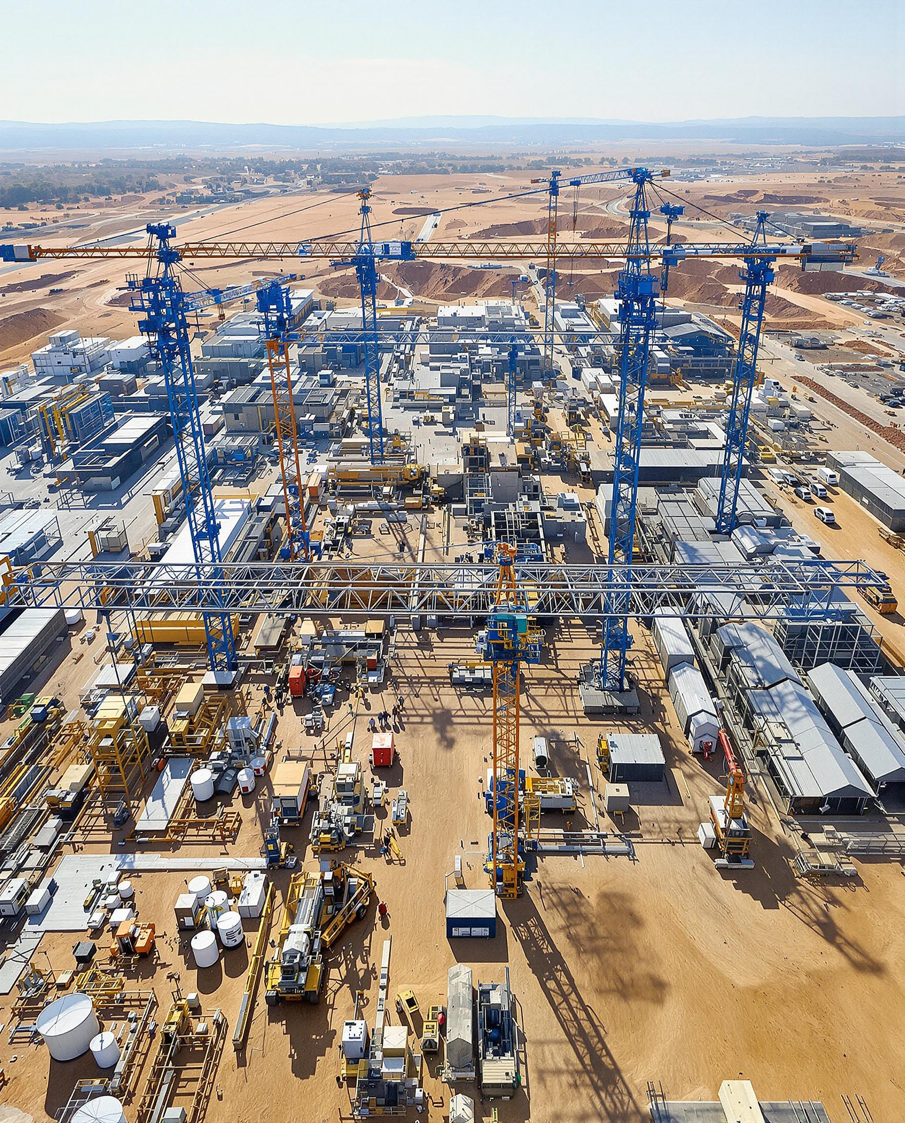
Construction Projects
Documenting site progress with advanced mapping capabilities available based on project requirements
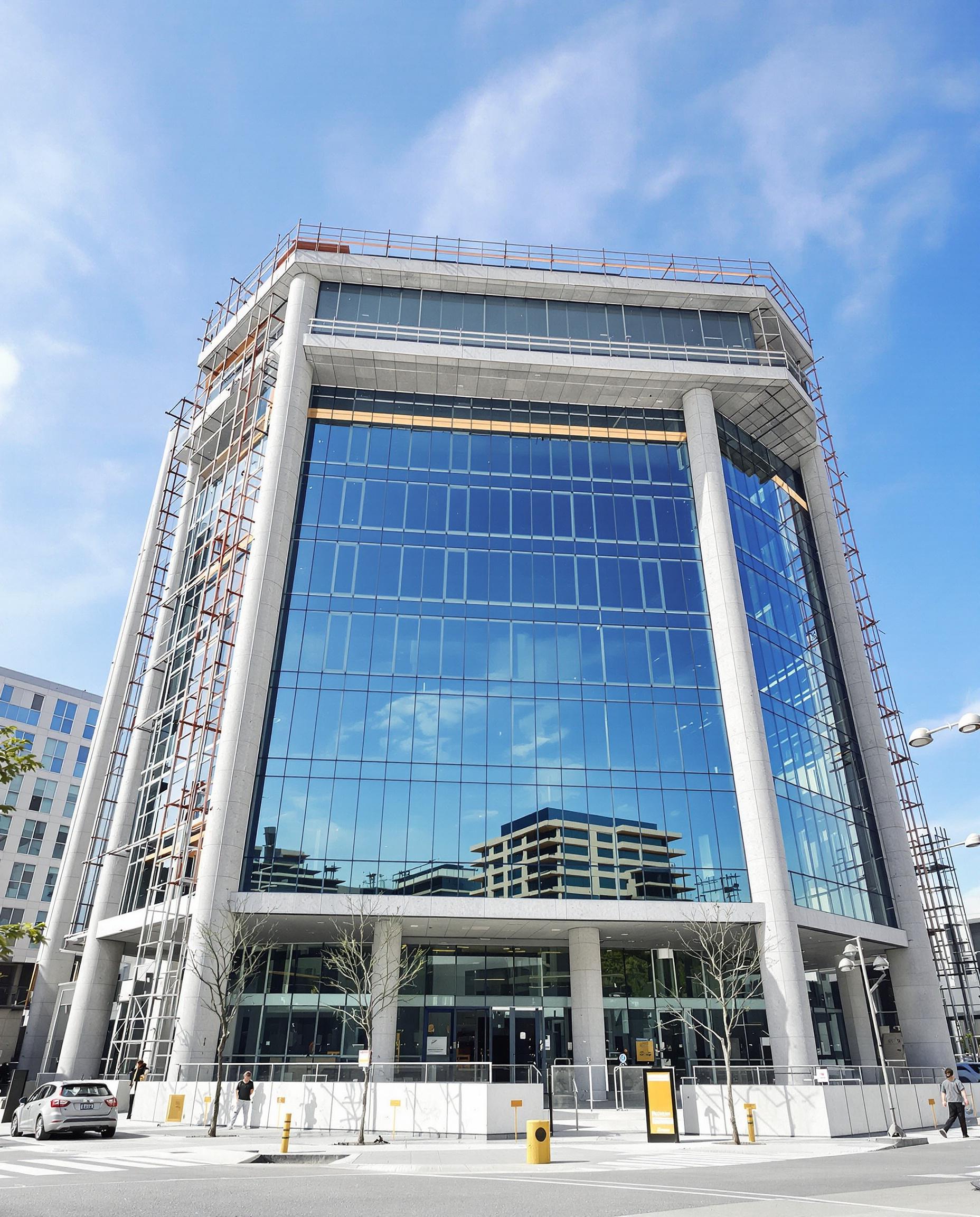
Commercial Property Documentation
Organized aerial documentation for properties, facilities, and project records
Inspection Support
Detailed aerial imagery to document visible site and exterior conditions

Why Choose AeroSite Inspection Services?
Dedicated to quality and client satisfaction


Project Based Solutions
Services and pricing tailored to your project requirements
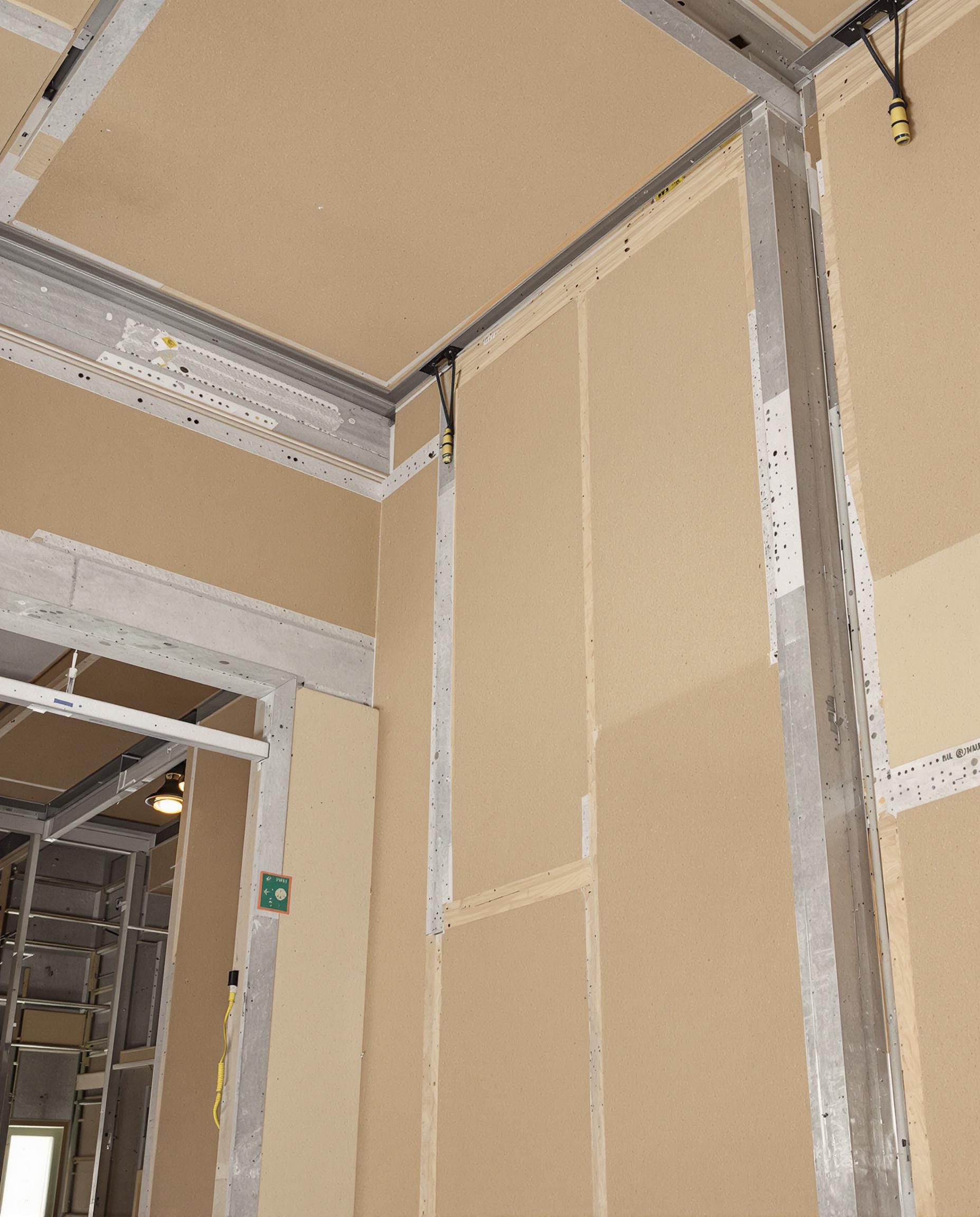
Experienced Operators
Professionals ensuring reliable results

Client-Centric Approach
We support you throughout your project
Latest in drone technology for superior service
Professional aerial technology selected around project requirements

Built for the Jobsite.
Construction Focused
Built with firsthand construction experience, AeroSite understands the importance of clear, organized documentation that works with real project workflows.
Documentation That Matters
We focus on repeatable aerial documentation that helps contractors and project teams track progress, record visible site conditions, and maintain a clear project history.
Technology With a Purpose
We use professional aerial technology to capture useful project information—not just attractive imagery—with capabilities tailored to the requirements of each job.